


Exhibitors②
Asia Air Survey Co., Ltd.
Asia Air Survey Co., Ltd.
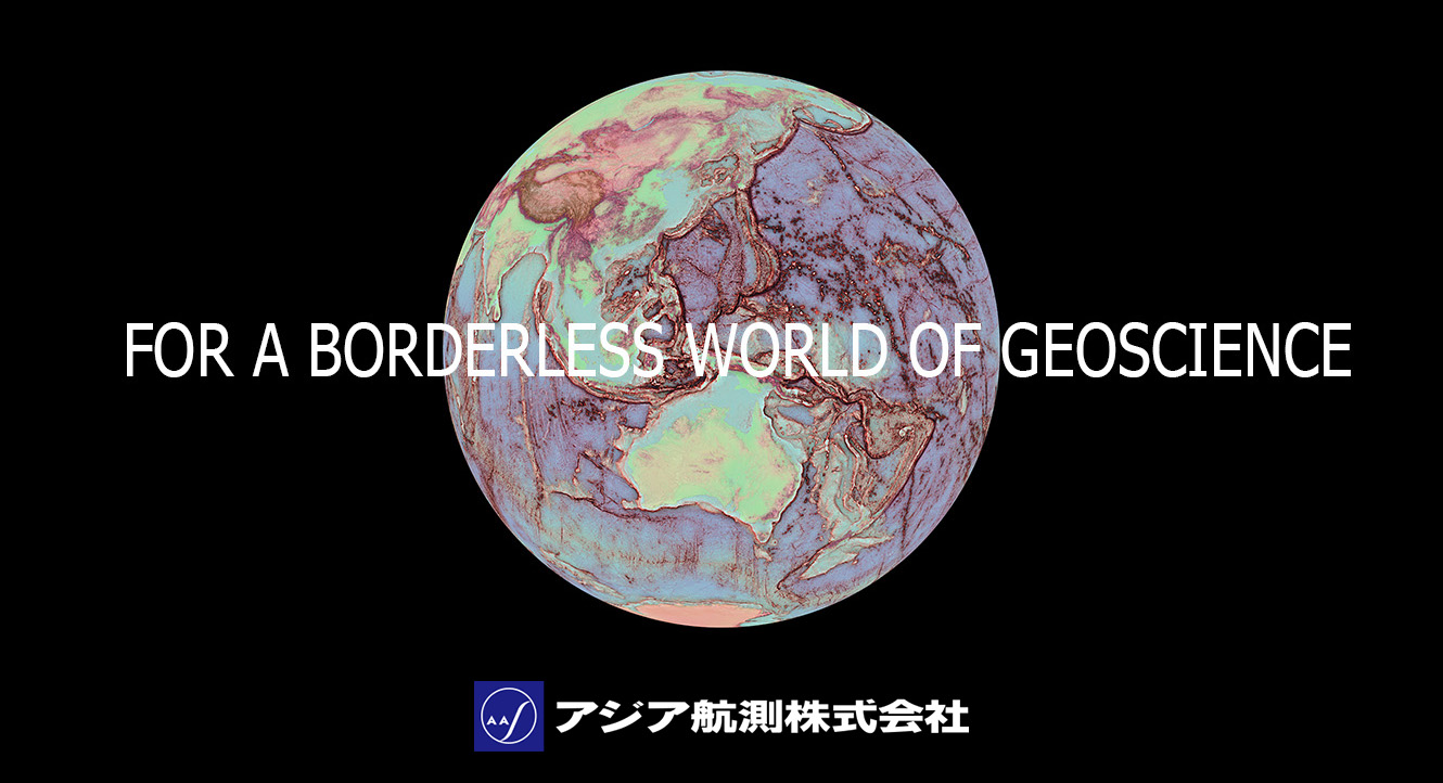
expanding our business in areas related to national land preservation and the construction and management of social infrastructure.
Company Overview
Company Name:Asia Air Survey Co., Ltd.
Incorporated:February 26, 1954
Originally Founded:December 15, 1949
Capital:1,673,778,000 yen
Addresses:Shinjuku Green Tower 15F, 6-14-1 Nishi-Shinjuku, Shinjuku-ku, Tokyo
Shinyurigaoka Twenty-One 3F, 1-2-2 Manpukuji, Asao-ku, Kawasaki City, Kanagawa
Group Employees:1,872(as of Sept. 30, 2025)
Fiscal Year:October 1 to Sept. 30
Consolidated Sales:41.5 billion yen (fiscal year ending Sept. 2025)
Tokyo Stock Exchange:Listed on the Standard Market (Security Code: 9233)
Business Areas
- Remote sensin Geospatial information management (Including a range of systems for supporting government services, managing disaster-related and other information)
Fixed asset-related services Facility information management (electric utilities, water supply/sewerage systems, roads, etc.)
Environmental surveys and assessments
Geological and hydrological surveys
Construction consulting (urban and regional planning, rivers, erosion and coastal protection, oceans, roads, water supply and industrial water, sewerage, parks, ports and airports, soil and foundations, agricultural civil engineering, steel and concrete structures, construction environments, forestry, and geology)
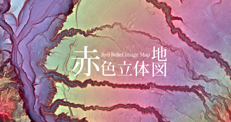
The RRIM has overcame the shortness of traditional visualization methods, such as weakness for scaling, light direction dependence, necessary of stereoscope and filtering, can express details of topography by single image map.
For make the RRIM, we use the patented technology holed by Asia Air Survey, Co., Ltd., registered in Japan as well as US, China, and Taiwan.
The RRIM can be used for investigation of topographical features such as volcano, landslide and fault, also useful for remains and ancient tomb investigation, tourist guide map and mountain climber’s map etc.
URL https://www.rrim.jp
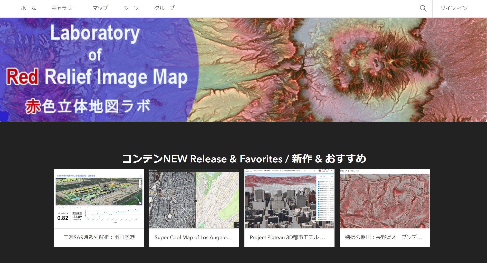
URL https://aas-arcgisonline.maps.arcgis.com/home/index.html
Contents
Download
* Shinichi Kaneda1 (1. Asia Air Survey Co., Ltd.)
May 24, 2026 (Sun) 17:15-19:00
★ Invited Lecture
* Tatsuro Chiba1, Nanami Sugishita1, Koji Fujita1 (1. Asia Air Survey Co., Ltd.)
May 24, 2026 (Sun) 17:15-19:00
[O05-P05] A Geo-tour Exploring Legends Related to the Rock Avalanche of Mount Bandai and the Sites of Those Legends ★ Invited Lecture
* Yojirou Taketani1, Taro Suzuki2, Makoto Hasuoka1 (1. Bandai Mountain Geopark Council, 2. Asia Air Survey Co., Ltd.)
May 25, 2026 (Mon) 17:15-19:00
* Yuka Washio1, Mio Kasai1, Hisato Sano2(1. Graduate School of Agriculture, Hokkaido University, 2. Asia Air Survey Co., Ltd.)
May 27, 2026 (Wed) 17:15-19:00
[HTT15-P05] Quantification of Topographic Formation Patterns Based on Multi-Scale Slope Spectra from High-Resolution DEM ★ Invited Lecture
* Tatsuro Chiba1 (1. Asia Air Survey Co., Ltd.)
May 29, 2026 (Fri) 17:15-19:00
* Ko Egawa1, hisashi Sasaki1, Kai Wakamatsu1, Katsuya Noguchi2, Takashiro Yoneda2, Haruto Fukuoka2, Miho Makabe2 (1. Asia Air Survey Co., Ltd., 2. JDRONE Co., Ltd.)
May 29, 2026 (Fri) 17:15-19:00
* hisashi Sasaki1, Chuka Taniguchi1, Masashi Nishihara1, Atsuya Komori1, Ko Egawa1, Takashi Mori1 (1. Asia Air Survey Co., Ltd.)
| Address | 215-0004 1-2-2 Manpukuji, Asao-ku, Kawasaki City, Kanagawa |
|---|---|
| TEL | 044-969-7230 |
| FAX | 044-965-2596 |
| Web site, SNS | https://www.ajiko.co.jp/en/ |
Center for Advanced Model Research Development and Application,National Centeral University,Taiwan
Center for Advanced Model Research Development and Application,National Centeral University,Taiwan
Center for Advanced Modeling Research Development and Applications
presents THMC & MUSt for subsurface simulation,geological modeling, groundwater resource management, CCS(Carbon Capture and Storage),radioactive waste disposal & geothermal energy.
Visit Booth A62, May 24-29 in Chiba, Japan for the latest demos.
We look forward to meeting global experts from all sectors!
Contents

Contents
Download
| Address | 320317 No. 300, Zhongda Rd., Zhongli District, Taoyuan City, Taiwan (R.O.C.) |
|---|---|
| TEL | +886-3-4227151ext65892 |
| Web site, SNS | https://camrda.ncu.edu.tw |
Earth Scientific Drilling booth
Earth Scientific Drilling booth
Contents
Contents
Download
Contents
①× ×, 2021(×)13:00~14:00
②× ×, 2021(×)13:00~14:00
Please click here to contact us (Zoom will start)
Earth Scientific Drilling booth
Earth Scientific Drilling booth
Contents
Contents
Download
Contents
①× ×, 2021(×)13:00~14:00
②× ×, 2021(×)13:00~14:00
Please click here to contact us (Zoom will start)
Earth Scientific Drilling Booth
Earth Scientific Drilling Booth
Contents
Contents
Download
Contents
①× ×, 2021(×)13:00~14:00
②× ×, 2021(×)13:00~14:00
Please click here to contact us (Zoom will start)
Geological Survey of Japan, AIST
Geological Survey of Japan, AIST
Introducing GSJ activities, recent reserach, and new geological maps, along with a career consultation event for studies and early-carrer reserachers.
| Web site, SNS | https://www.gsj.jp/en/index.html |
|---|
Geosys, Inc.
Geosys, Inc.

Contents
Contents
Download
Contents
①× ×, 2021(×)13:00~14:00
②× ×, 2021(×)13:00~14:00
Please click here to contact us (Zoom will start)
| Address | 112-0012 1-5-18 Otsuka, Bunkyo-ku, Tokyo 112-0012 |
|---|---|
| TEL | 03-5940-5952 |
| Web site, SNS | https://www.geosys.co.jp |
International Continental Scientific Drilling Program (ICDP)
International Continental Scientific Drilling Program (ICDP)
Contents
Contents
Download
Contents
①× ×, 2021(×)13:00~14:00
②× ×, 2021(×)13:00~14:00
Please click here to contact us (Zoom will start)
IUGG National Committee of the Republic of Korea
IUGG National Committee of the Republic of Korea
Contents
Contents
Download
Contents
①× ×, 2021(×)13:00~14:00
②× ×, 2021(×)13:00~14:00
Please click here to contact us (Zoom will start)
JDRONE CO.,LTD.
JDRONE CO.,LTD.
Contents
Contents
Download
Contents
①× ×, 2021(×)13:00~14:00
②× ×, 2021(×)13:00~14:00
Please click here to contact us (Zoom will start)
Kanomax Analytical Inc.
Kanomax Analytical Inc.

Download Brochure
| Address | 565-0805 2-1 Shimizu, Suita-shi, Osaka, JAPAN |
|---|---|
| TEL | 06-6877-0177 |
| Web site, SNS | https://www.kanomaxfmt.com/ |
Kyoto University Geoscience Union
Kyoto University Geoscience Union
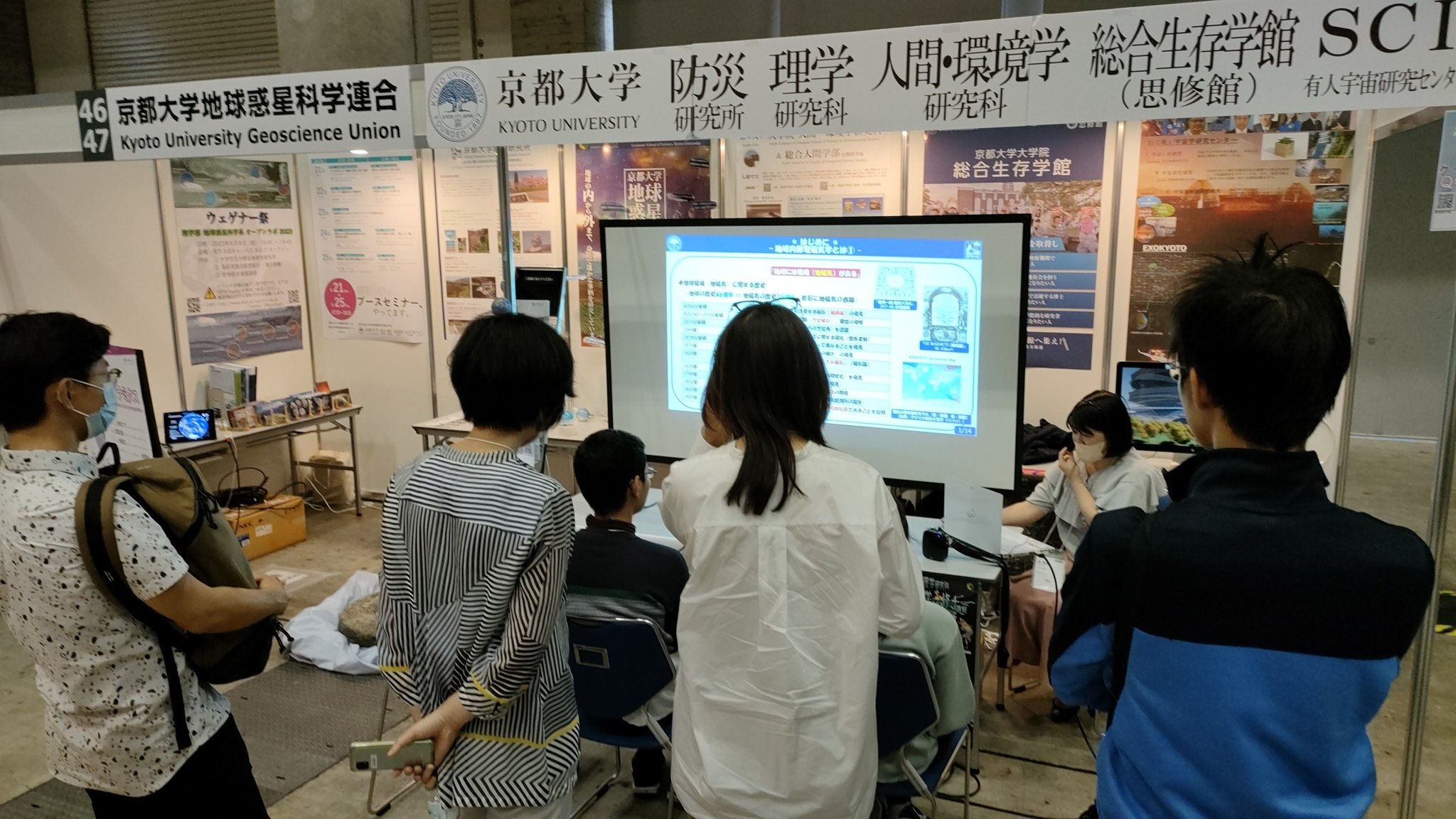
May 24 Ayako MATSUOKA [Department of Geophysics] Magnetic fields in the solar system
May 25 Yosuke YAMASHIKI [Graduate School of Advanced Integrated Studies in Human Survivability] Explore Habitable Worlds with ExoKyoto3D
May 26 Masayuki KANO [Disaster Prevention Research Institute] How Far Can We Forecast Slow Slip? - A Physics-Informed Machine Learning Approach -
May 27 Haruka ONO [Department of Geology and Mineralogy] Evolution of Solar System Bodies: Insights from Meteorites
May 28 Tetsuya TAKEMI [Disaster Prevention Research Institute] Mechanisms and predictability of heavy rainfall systems
Announcement of Booth Seminar
◆ Archived past seminars in 2024
Division of Earth and Planetary Sciences (EPS)
Earth and Planetary Sciences YouTube Channel Division of Earth and Planetary Sciences
Disaster Prevention Research Institute (DPRI-KU)
DPRI-KU YouTube Channel DPRI-KU
Graduate School of Advanced Integrated Studies in Human Survivability (GSAIS)
GSAIS YouTube Channel SHISHU-KAN (GSAIS)
SIC Human Spaceology Center
Graduate School of Human and Environmental Studies
Graduate School of Human and Environmental Studies
| Address | 606-8502 Kitashirakawaoiwake-cho, Sakyo-ku, Kyoto |
|---|
MEIJI TECHNO CO.,LTD.
MEIJI TECHNO CO.,LTD.
Contents
Contents
Download
Contents
①× ×, 2021(×)13:00~14:00
②× ×, 2021(×)13:00~14:00
Please click here to contact us (Zoom will start)
Mount Fuji Research Institute, Yamanashi Prefectural Government
Mount Fuji Research Institute, Yamanashi Prefectural Government
Contents
Contents
Download
Contents
①× ×, 2021(×)13:00~14:00
②× ×, 2021(×)13:00~14:00
Please click here to contact us (Zoom will start)
| Web site, SNS | https://www.mfri.pref.yamanashi.jp/ |
|---|
National Research Institute for Earth Science and Disaster Resilience
National Research Institute for Earth Science and Disaster Resilience


https://www.bosai.go.jp/e/research/center/dcgr.html
| Address | 305-0006 3-1 Tennodai, Tsukuba, Ibaraki 305-0006, JAPAN |
|---|---|
| TEL | 029-851-1611 |
| FAX | 029-851-3246 |
| Web site, SNS | https://www.bosai.go.jp/e/ |
oyo corporation
oyo corporation
Contents
Contents
Download
Contents
①× ×, 2021(×)13:00~14:00
②× ×, 2021(×)13:00~14:00
Please click here to contact us (Zoom will start)
Ritsumeikan University Graduate School of Frontier Exploration in Earth and Space (Planned for Establishment)
Ritsumeikan University Graduate School of Frontier Exploration in Earth and Space (Planned for Establishment)

| Web site, SNS | https://www.ritsumei.ac.jp/frex/ |
|---|
Taylor & Francis
Taylor & Francis

Taylor & Francis is a leading global publisher of academic journals and books in Earth and Planetary Sciences, covering geophysics, geology, geochemistry, atmospheric sciences, and oceanography. Visit our booth to explore our publications and discuss publishing opportunities with our team!
We also have activities for you to participate in, so please feel free to stop by.
Open Science Without the Pain: Practical Publishing Pathways for Earth Scientists
Date & Time: May 26, 10:45 - 11:30
Language: English
Venue: Exhibition Hall Stage Aarea
Open Science is now central to Earth and environmental research, driven by funder mandates, rising expectations around data transparency, and ongoing challenges with reproducibility. This session provides a practical overview of how Open Science is being implemented across the Earth, climate, and environmental sciences—and what this means for researchers in day‑to‑day practice.
We will explore concrete solutions for sharing data and methods using FAIR principles, repositories, Data Availability Statements, and improved publication workflows. Drawing on community initiatives and journal case studies—including data editors addressing reproducibility challenges—we highlight where breakdowns commonly occur and how they can be avoided. The session also introduces emerging article types, open peer‑review models, and Open Access pathways designed to increase visibility, reuse, and research credit. Early‑ and mid‑career researchers will leave with actionable guidance, tools, and resources to meet Open Science requirements while strengthening research quality, impact, and career progression.
| Web site, SNS | https://taylorandfrancis.com/ |
|---|
Wiley
Wiley

| Address | 07030 111 RIVER STREET HOBOKEN, NEW JERSEY, UNITED STATES |
|---|---|
| Web site, SNS | https://www.wiley.com |